
It was a wet finish to the weekend for much of the I-95 corridor as low pressure produced a light to moderate rainfall from Washington, D.C. to Hartford, CT on Sunday. The rain was a welcome sight for southern New England, while folks from central Jersey to Maryland had to endure another bout of wet weather. And although there will be a few showers and thunderstorms at times this week, it looks like the threat for heavy rain in the Northeast will be relatively low. Before we check the forecast, here is a look at the average high and low temperatures for mid-August. Yes, average temperatures are now on the decline.
| Average High | Average Low | |
| Boston | 80 | 65 |
| Hartford | 83 | 61 |
| New York City | 83 | 68 |
| Philadelphia | 86 | 68 |
| Baltimore | 85 | 65 |
| Washington, DC | 87 | 70 |
After a few showers and strong storms (which may have gusty winds) on Monday with the passage of a cold front, the rest of the work week will be more dry than not. A weak disturbance will swing across the I-95 corridor Tuesday afternoon. This may spark some showers, but any rain will be brief and likely light (less than 0.10"). The same is expected on Wednesday...there may be a few afternoon showers along parts of the I-95 corridor, but most locations will stay rain free. Here is a look at total rainfall expected Monday through Friday (most of which falls Monday and Monday night with the cold front).
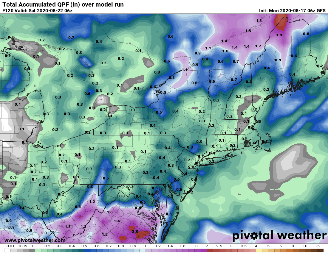
Courtesy Pivotal Weather
Ok, well that's it for now. The areas that saw flooding rainfall last week will have a chance to dry out this week as the deep tropical moisture has been supressed into the southeastern U.S. We'll keep you updated through the week on social media, check us out on Instagram, Twitter, and Facebook. And be sure to check our social channels on Wednesday, we'll have a new feature to share with everyone! - It's also FREE!


