
The month may say February, but it will feel more like early April as we kick off the new work week here in the Northeast. After some snow over the weekend, temperatures will rebound quickly starting Monday and remain above normal through at least Tuesday. It's all thanks to high pressure located over the Bahamas helping to supply most of the I-95 corridor with a warming southwest wind. Take a look at expected 5 PM temperatures for Monday and Tuesday.
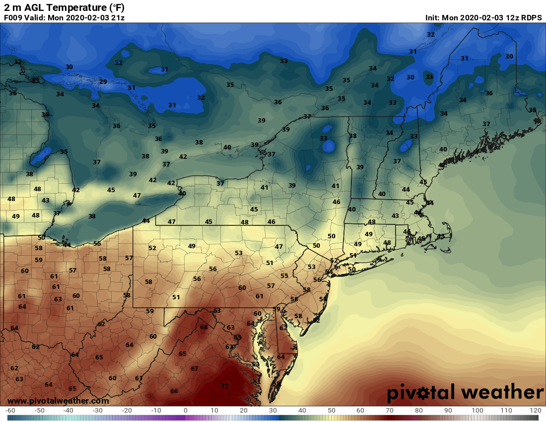

Courtesy Pivotal Weather
So, definitely an early taste of spring for the Northeast as normal high temperatures are still mainly in the 30s. Also, there will be few rain showers especially during the morning hours on Tuesday, but amounts will be less than a quarter of an inch. However, the mild weather won't last long (it is still winter by the way) as a cold front slips south across the area early Wednesday. This will at least send temperatures back to more seasonable readings for Wednesday afternoon. Then, we watch for our next storm system to arrive late Wednesday night into Thursday. This will likely result in a wintry mix with the colder temperatures in place. Sleet and freezing rain look to be the main threat with this next system. We'll continue to monitor and have updates over the next few days. Here is a look at the forecast precipitation map for 10 AM Thursday morning.
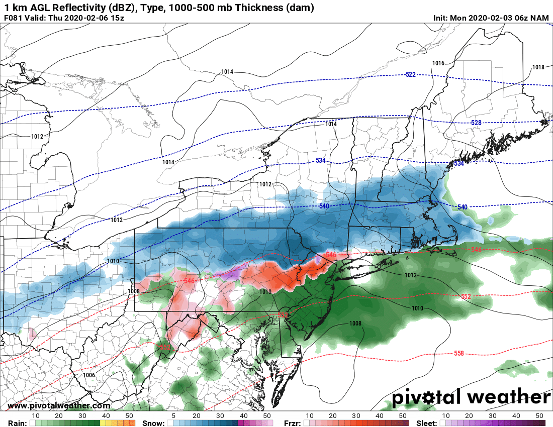
Courtesy Pivotal Weather


