
Hard to believe that the final weekend of November is upon us and winter starts in less than a month. However, no winter weather in the forecast for a while here in the Northeast. In fact, temperatures both Saturday and Sunday are going to be above normal for late November. Meanwhile, it looks like we will have a 50/50 weekend up and down the I-95 corridor.
High pressure will briefly build across the Northeast Friday night and this will lend to a dry and pleasant first half of the weekend with a mix of sun and clouds. Afternoon highs on Saturday will be about 5 - 10 degrees above normal. Here is a look at forecast temps for 1 PM.

Courtesy Pivotal Weather
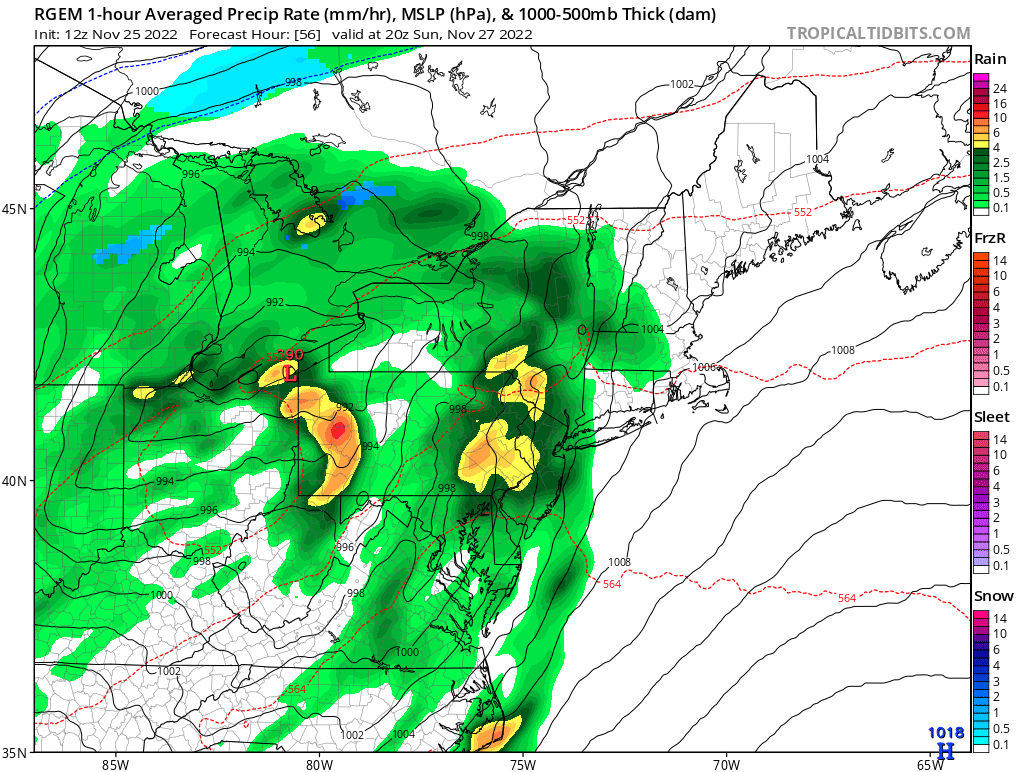
After our nice Saturday, clouds will increase at night as our next system approaches. Rain will then overspread the area from southwest to northeast on Sunday. Still some uncertainty with the exact timing of the rain, but folks in Maryland to Pennsylvania will likely see showers arrive mid-late morning before progressing into New England Sunday afternoon. Here is a look at the simulated radar for 10 AM and 3 PM Sunday.

RGEM 10 AM Sunday - Courtesy Tropical Tidbits

RGEM 3 PM Sunday - Courtesy Tropical Tidbits
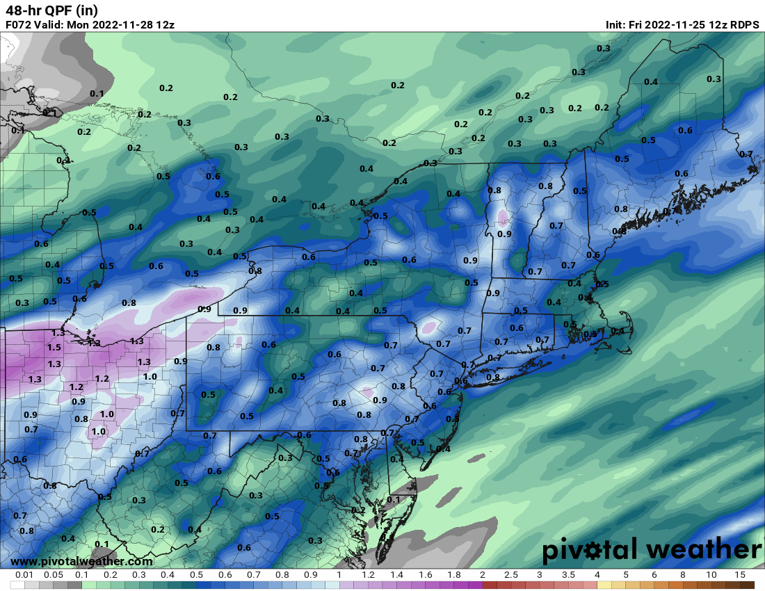
And like the system Thanksgiving night into Friday, this one will be rather progressive as well. Not only will this keep rainfall amounts in check, but it should exit Sunday night and lend to a dry Monday. Here is a look at those expected rain amounts.

Courtesy Pivotal Weather
Well, that's it for now. Hope everyone has a great weekend and don't forget to check out our podcast. It's called The Weather Lounge and can be found on all your major podcast platforms.