
After a chilly and damp start to the work week, we do have some better weather in store for the Northeast, although it will be brief. High pressure lends us some sunshine on Tuesday, still remaining on the cool side with afternoon highs about 10 degrees or so below normal. Here's a look at modeled temperatures for 2 PM on Tuesday.
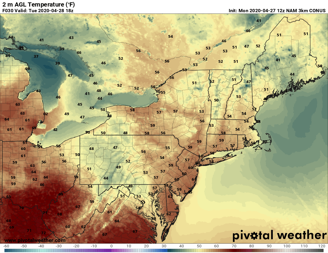
Courtesy Pivotal Weather
Right now, most of the I-95 corridor on Wednesday looks dry as well, but there could be some areas of fog or drizzle around during the morning as winds turn east off the Atlantic. This will keep a moist flow of air in place, hence the clouds, fog, and patchy drizzle. Wednesday afternoon and heading into the evening may offer the chance for more showers as a warm front lifts north, but most rain would likely be light. Temperatures will again be on the cool side, but similar to Tuesday.
Another area of low pressure arrives on Thursday and this one will contain some deep tropical moisture. In other words, a strong southerly flow of air will precede the storm helping to drive a lot of moisture from the southeastern U.S. This results in some heavy rainfall and perhaps some flooding concerns from the mid-Atlantic to New England. Here's an early look at modeled rainfall Thursday through Friday.

Courtesy Pivotal Weather
So while most of the rain from this system should fall in the Thursday through Friday morning time frame, it will be slow to exit. This means that additional showers will be possible through Friday afternoon. However, there are signs pointing to milder and a much drier weekend Let's hope so, since it will be the first weekend of May.


