
It was another hot start to the week here in the Northeast, but there is some relief on the horizon. First, we'll have to dodge a few storms on Tuesday as a cold front approaches the I-95 corridor. A few of these storms may pack a punch and will have the potential to produce gusty winds and hail. Here is a look at the forecast radar for 5 PM Tuesday.
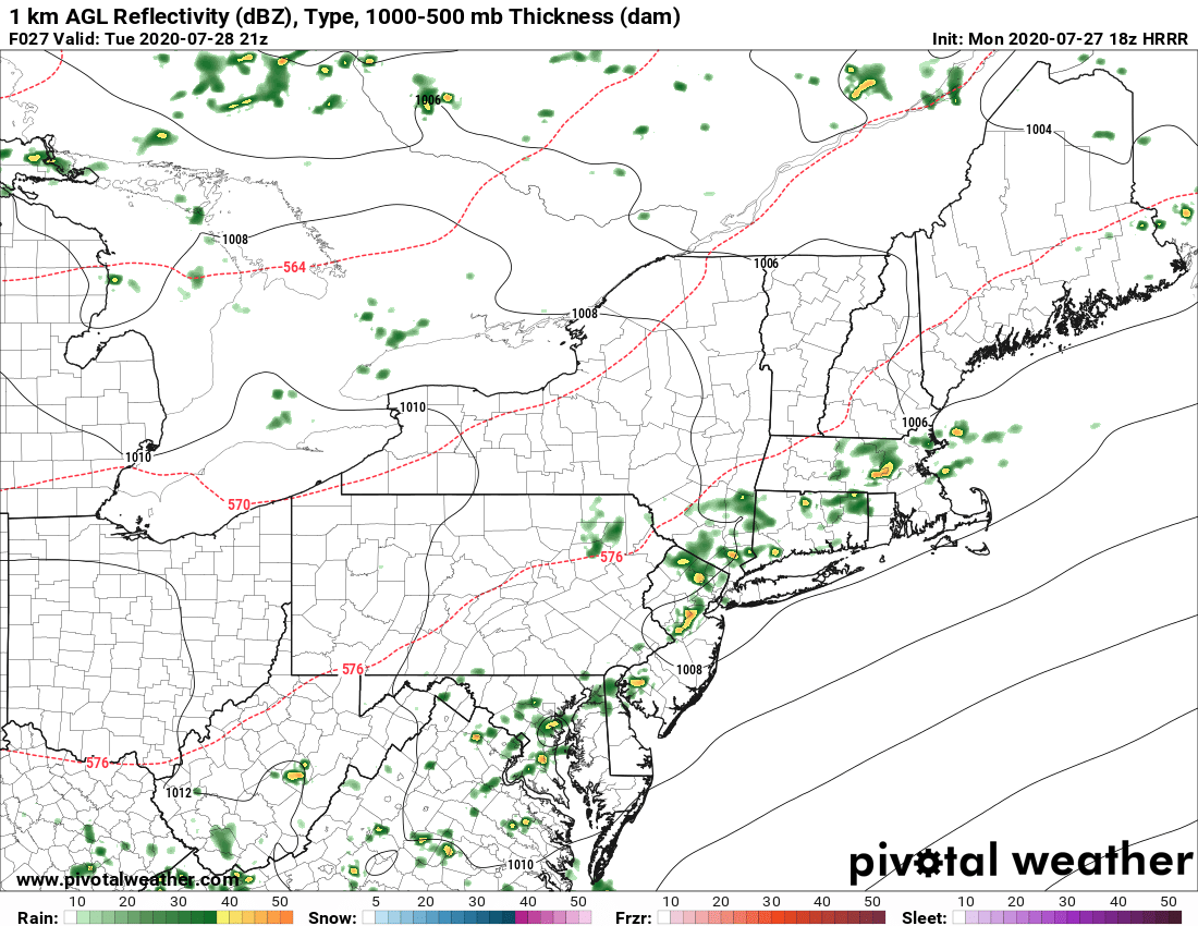
Courtesy Pivotal Weather
The front is expected to slide to the south before "stalling out" over central and eastern Virginia. This will allow for high pressure to build across New England for the middle of the work week and allow for a decrease in the humidity. It still will remain a bit on the muggy side as you get towards the nation's capital and closer to the front. However, from Philadelphia to Boston it will feel much better later this week as dewpoints fall into the 50s and low 60s. This will erase the heat index for much of the Northeast, but it will remain seasonably warm. Here is a look at expected temperatures for 2 PM Wednesday and Thursday.
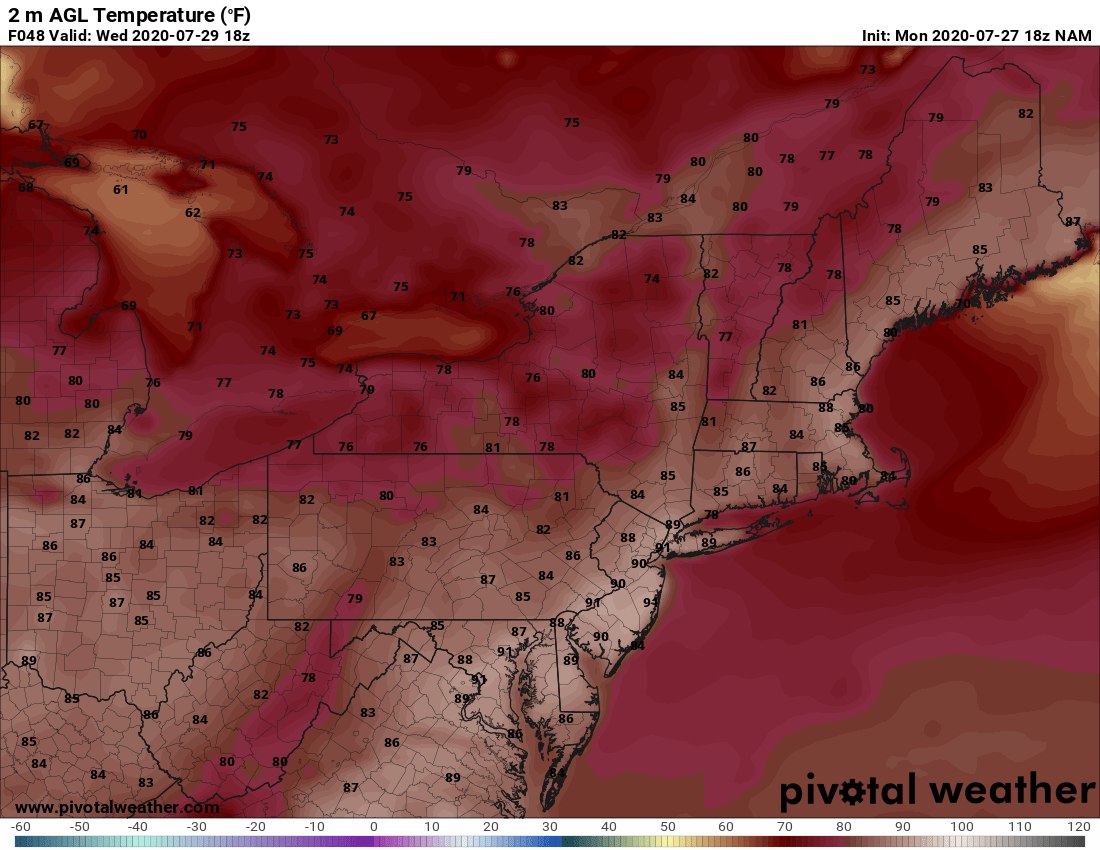
2 PM Wednesday - Courtesy Pivotal Weather

2 PM Thursday - Courtesy Pivotal Weather
As for rainfall, again Tuesday afternoon will be the best chance for showers ans storms, but we can't rule out a few "pop-ups" here and there through Friday. However, they will be rather isolated and most locations will see another dry stretch of weather. Here is total rainfall expected Wednesday through Friday.
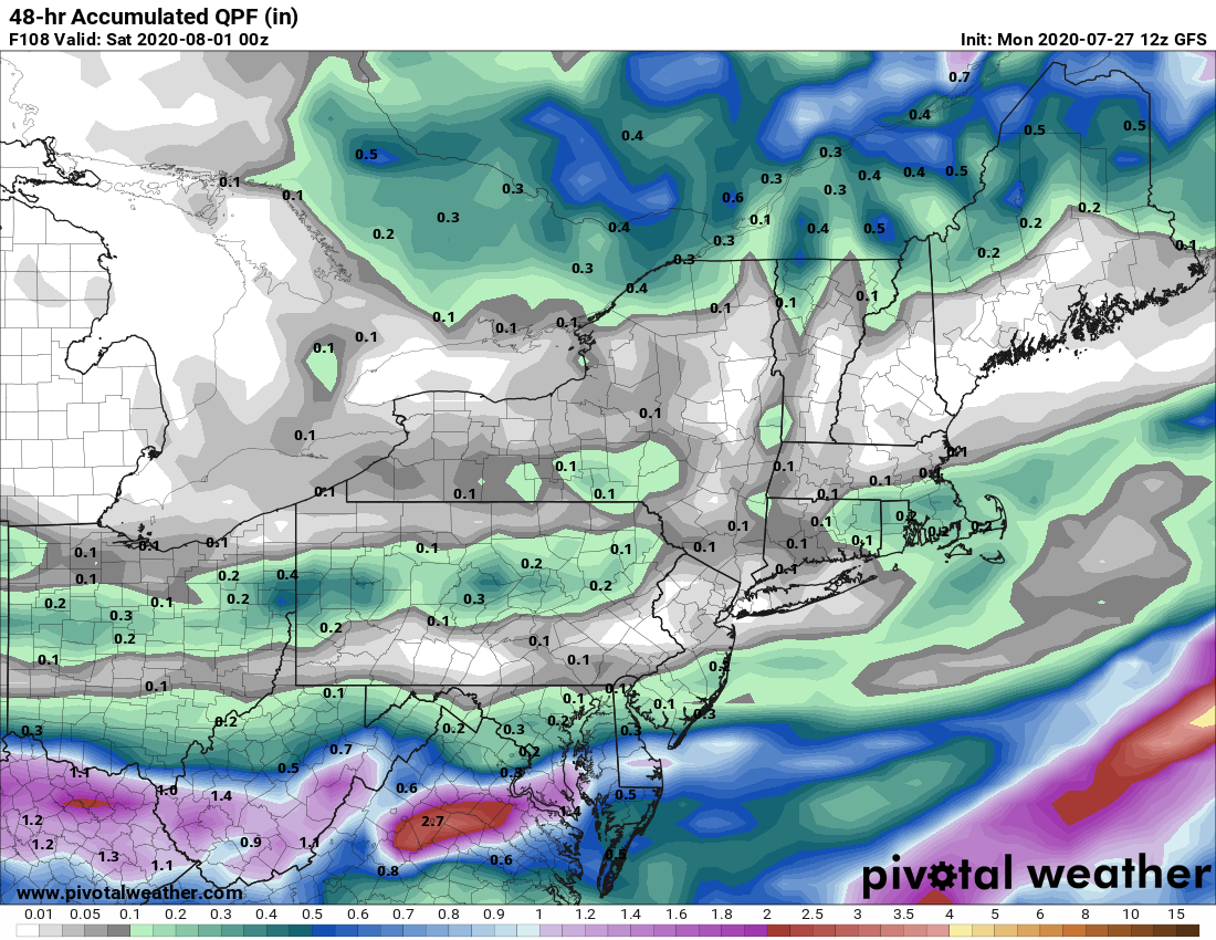
Courtesy Pivotal Weather
So, that's it for now. Overall, a fairly quiet and warm week for the I-95 corridor. It looks like next weekend starts off rain free, but may become a bit more active by Sunday afternoon. We'll have more on that in our next blog on Friday. See ya then !!


