
After a fairly quiet work week across the Northeast, the weather turns a bit more active for this final weekend of June. By no means will it be a washout, but there will be a few rain chances. This will include a window for strong to potentially severe thunderstorms to develop Saturday afternoon and evening. Before we get to that point, parts of the I-95 corridor may have to deal with a few showers Saturday morning as a warm front slides east. Locations from Hartford to Philadelphia will have the best chance to see this first round of showers. As the warm front lifts through the region, dewpoints will climb into the 60s for Saturday afternoon. This is known as the "warm sector" and will offer the highest risk for storms to develop late Saturday. There is still some uncertainty as to how far north the warm front will go, but locations from Washington, DC to at least central Connecticut will get into this warm sector. A cold front will then approach the East Coast late Saturday and scattered showers and storms are expected to develop just ahead of it. Some of these storms may become strong to severe and produce damaging wind gusts and even hail. The main threat for these storms will be between 3 - 8 PM. And while everyone along the I-95 at least has a chance to see storms Saturday afternoon, the highest risk will be from Hartford to Philadelphia. Here is a look at the simulated radar for 4 PM Saturday.

Courtesy Tropical Tidbits
The scattered storms and severe threat will diminish by early Saturday night as the cold front sweeps off the East coast. However, there isn't any cold air behind this front, mainly just a bit of a wind shift. The end result will be a hot and humid Sunday with just a few "pop-up" afternoon storms possible. We should see a fair amount of sunshine in betweeen any storms as temperatures peak in the mid to upper 80s. This, combined with dew points in the mid to upper 60s will produce a heat indices in the low 90s. Here is a look at what it will feel like at 2 PM Sunday.
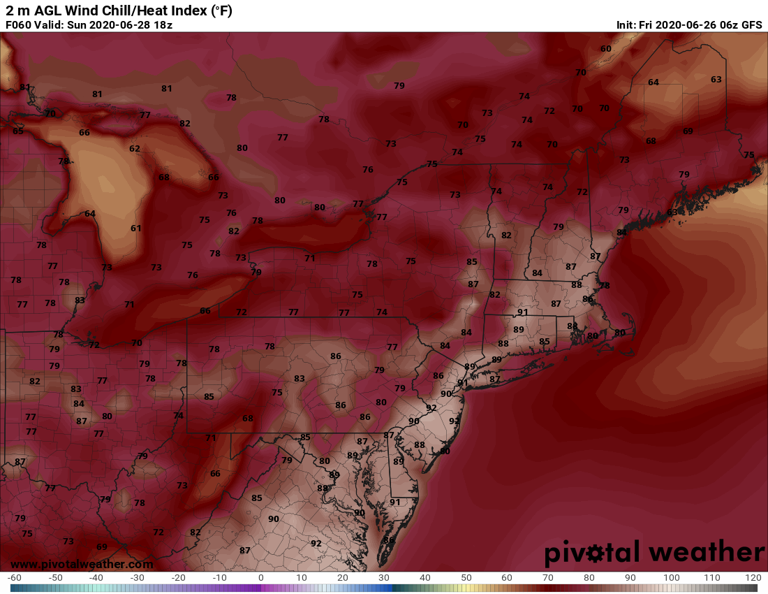
Courtesy Pivotal Weather
So, there you have it. Hard to believe that July begins next week and Independence Day is a week from Saturday. We'll start to look ahead to the holiday weekend in our next blog on Monday. Again, stay weather aware on Saturday as we may be tracking some severe storms.


