
Good timing is a great way to describe this weekend here in the Northeast as we will be right in between weather systems. After a spring-like Thursday, we were quickly reminded on Friday that it is late November. A much more seasonable air mass has overspread the I-95 corridor after a strong cold front swept through the region. This will be followed by high pressure as it builds in Friday night and will lend to good radiational cooling as the sky clears and winds diminish. Check out the forecast temperatures for 7 AM Saturday. Quite the frosty morning !!

Courtesy Pivotal Weather
But, despite the cold, we should see a fair amount of sunshine on Saturday and this will help most locations climb into the mid and upper 40s by the afternoon. Overall, not a bad first half of the weekend.
On Sunday, high pressure will slide off the East Coast and make way for our next cold front. This will lend to plenty of clouds, but it should stay dry as any rain likely holds off until after dark. The only exceptions will be from central PA to parts of upstate NY where showers may develop Sunday afternoon. Here is a look at the simulated radar for 4 PM Sunday.
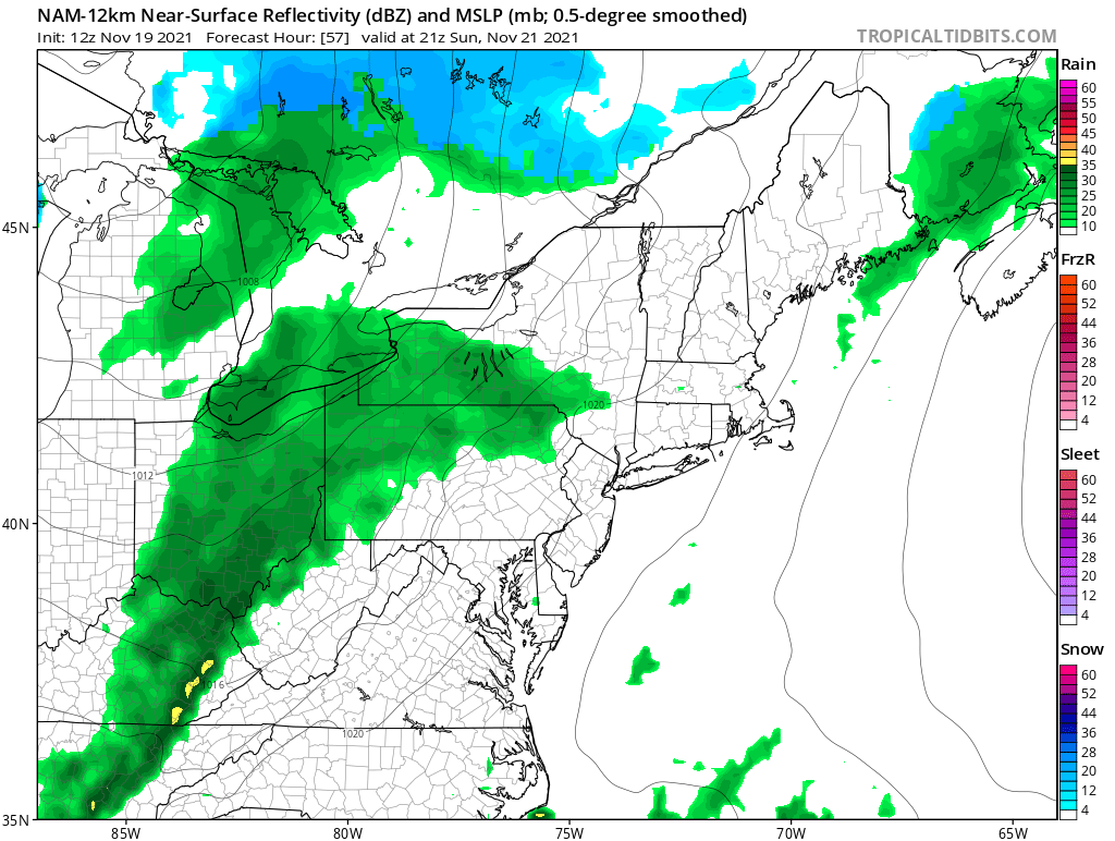
Courtesy Tropical Tidbits
Rain chances will then quickly increase Sunday night across the entire Northeast as the cold front makes it's way into the area. Right now, it looks like this will be a fast mover and the weather will improve Monday morning from west to east.
Beyond that, it gets quite cold for Tuesday and Wednesday. But, we'll have more on that with our next blog on Monday. Also, we'll talk about the Thanksgiving Day forecast and how it's not looking too unsettled anymore. A few days ago, there were signals for a strong storm to develop next week along the East Coast, but now it looks like all the "pieces" won't come together in time. Have a great weekend everyone !!


