
Hard to believe that Easter weekend is upon us, and Passover begins Friday night. Yep, we're now well into the month of April, but we just can't get that sustained warmth. In fact, starting Sunday, temperatures are going to be below normal here in the Northeast through a good portion of next week. Before we get to the forecast, here is a look at average temps for mid-April.
| Average High | Average Low | |
| Boston | 56 | 41 |
| Hartford | 60 | 38 |
| New York City | 62 | 45 |
| Philadelphia | 65 | 44 |
| Baltimore | 67 | 43 |
| Washington, DC | 68 | 48 |
As for the forecast this weekend, there will be some changes to the overall pattern and it will trend much cooler than it has been. Most of Saturday still looks dry, but the risk for rain will increase by later in the afternoon as a strong cold front approaches the I-95 corridor. However, the closer you are to the coast, the better chance you have to stay rain free through the daytime hours. Here is a look at the simulated radar for 4 PM Saturday.
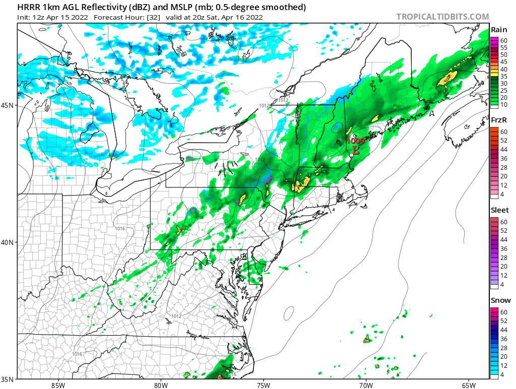
Courtesy Tropical Tidbits
The cold front will sweep off the East Coast Saturday night, taking the rain with it. This will lend to a mainly dry Easter Sunday, but it will be much cooler as temperatures will be running a good 10-20 degrees below normal. There may even be a few snow flurries across interior parts of the Northeast Sunday morning, but no accumulation is expected. Check out the forecast temps for 2 PM on Easter.

Courtesy Pivotal Weather
So, that's it for now...just a quick update for the holiday weekend. And by the way, there may be a bit more snow in the forecast for interior parts of the Northeast and New England early next week as low pressure develops and slides up the coast. Still a lot of uncertainties, but the signal is there and with just enough cold air, some accumulating snow is possible, again for the interior and higher elevations. We'll continue to monitor and have an update on social media come Monday.


