
The dry and unseasonably warm weather pattern that we have been experiencing for the last few days will continue this weekend throughout the Northeast and Mid-Atlantic. The reason is because the jet stream is located over eastern Canada. This will lend to well above normal temperatures over the eastern U.S. Compare this to the colder weather located over the western U.S. as the jet stream dips down towards Mexico. Here is a look at the 500 millibar map (upper level) for Saturday.
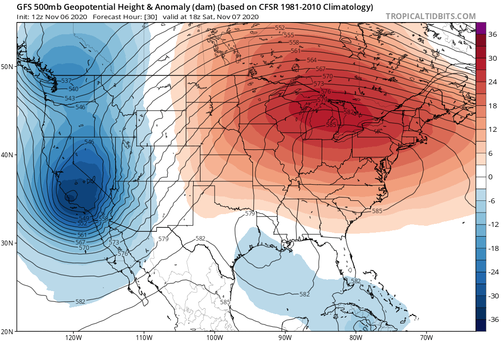
Courtesy Tropical Tidbits
The high pressure system that has been dominating the region continues to entrench over the area this weekend. Conditions for Saturday and Sunday will therefore similarly be dry and warm. The risk for morning fog continues throughout the period in most locations, but this is really the only notable weather we will have to contend with. After any morning fog or low clouds dissipate, each day gives way to plentiful sunshine, which possibly mixes with some high clouds in locations farthest north (mainly in Massachussets, Rhode Island, and Connecticut). Temperatures each day will max out just a few degrees above or below 70, and it may even feel a bit humid out there (especially farther south in Delaware, Maryland, and Virginia) as dew points climb into the upper 50s.
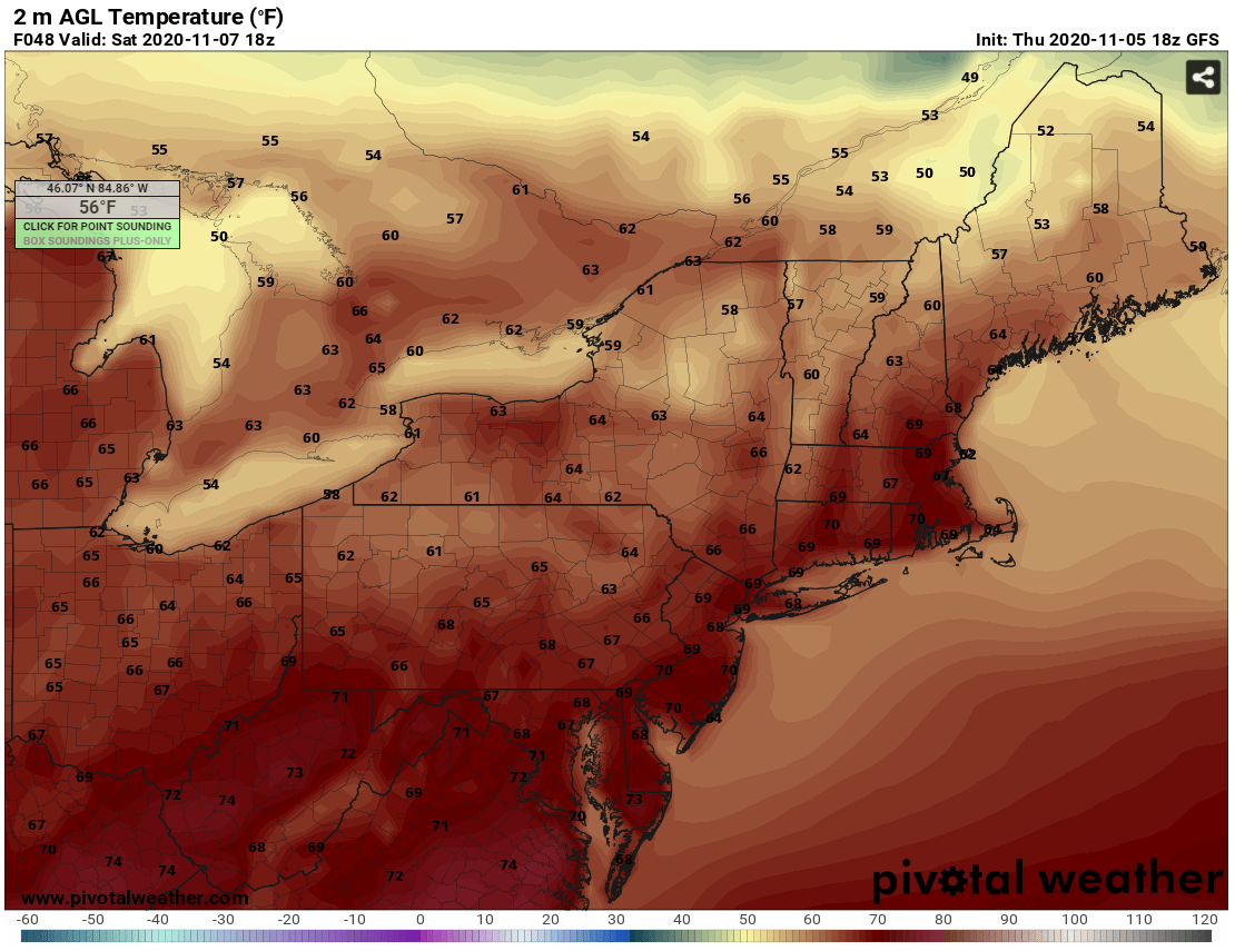
Temperatures for 1 PM Saturday - Courtesy Pivotal Weather
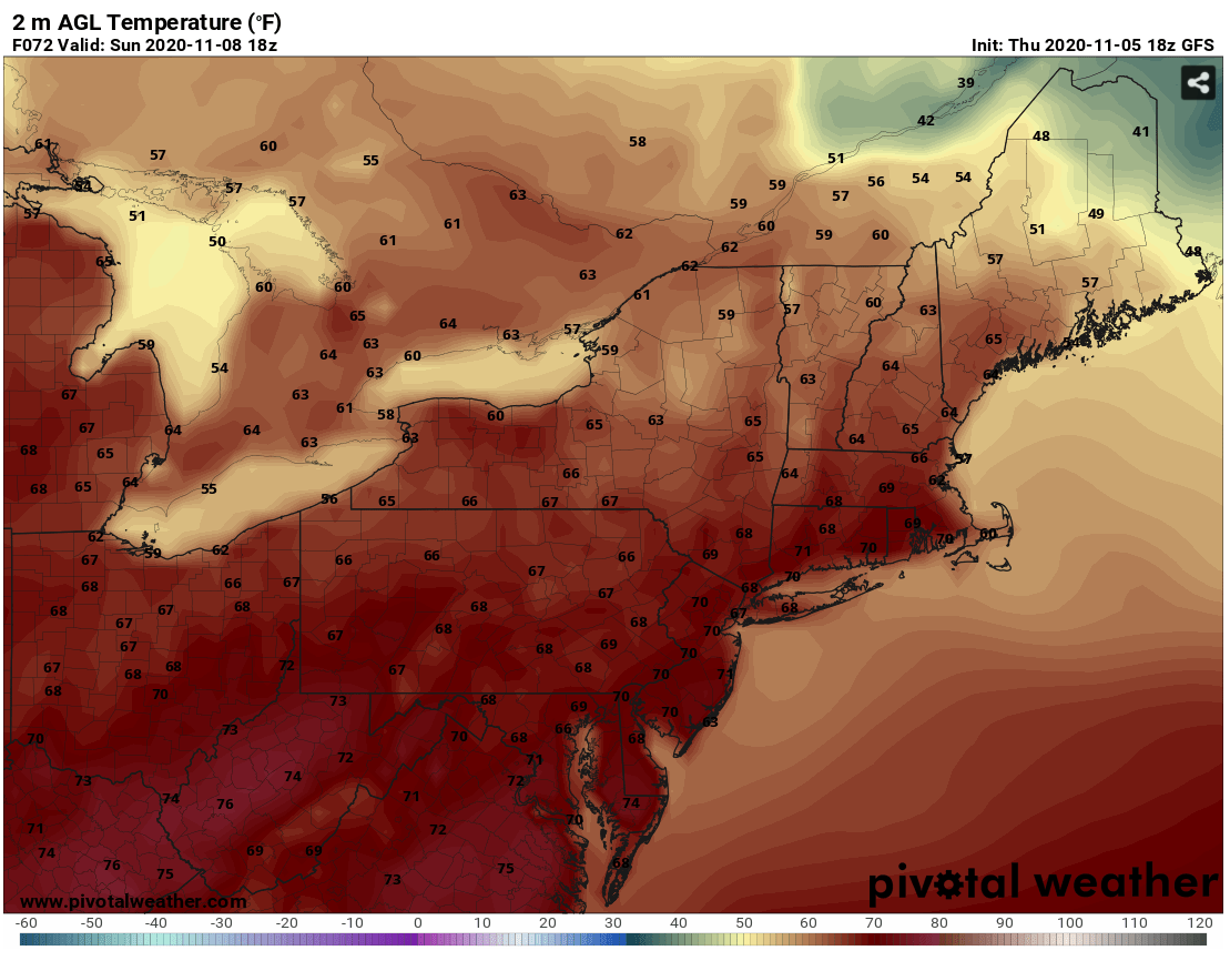
Temperatures for 1 PM Sunday - Courtesy Pivotal Weather
The dry and warm conditions are expected to persist through the start of the work week as high pressure still has a foothold over the area. At this point, the next chance of rain is looking to be Wednesday as a low pressure system and associated cold front approach and pass through the region. Check back here on Monday for an updated forecast for next week. Have a great weekend everyone !!


