
The Northeast had a beautiful end to the work week, with dry conditions, plentiful sunshine, and highs topping 60 as high pressure dominates the region. Tonight sees just a few clouds moving in late, with temperatures not as cold as previous nights, mainly in the upper 30s and 40s.
The start of the weekend will be rather pleasant as well. Sun will mix with just a few clouds (cloud coverage will be greatest farther south toward MD and VA) and will it continue to be mild. Expect high temperatures in the mid to upper 50s to even around 60, with slightly cooler temperatures farther north and slightly warmer temperatures farther south. Take a look at projected temperatures for 1 PM Saturday based on the Hi-Res NAM:

Courtesy of Pivotal Weather
Also, the simulated radar from the Hi-Res NAM for 1 PM Saturday is devoid of precipitation. No rain or snow in sight!
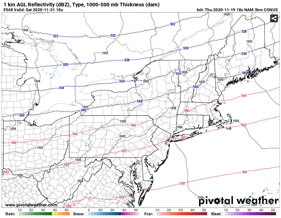
Courtesy of Pivotal Weather
Sunday then sees increasing cloudiness ahead of our next system. A warm front lifting just west of our region may bring some rain to northern VA, Western MD, and central (possibly even eastern) PA as early as late morning/early afternoon. However, at this point the daytime hours across our region are looking to be more dry than not, with precipitation becoming more likely around and after sunset ahead of an approaching cold front. There is the possibility that rain may even mix with snow or sleet at the onset of precipitation in some northern and western locations. Namely, we are thinking places in north-central PA into upstate NY and VT, NH, ME have the greatest risk to see some wintry weather. For the big cities of the I-95 corridor, just plain rain this go around. High temperatures will also be much colder on Sunday, only maxing out in the upper 30s farther north and in the mid-to-upper 40s to low 50s farther south.

NAM model image for 4 PM on Sunday shows a shot of snow and sleet across the interior Northeast. Tropical Tidbits.
Rain then becomes more widespread overnight Sunday and continues through at least the morning on Monday. Again, the timing of this next system will be closely monitored over the next few days, so check back with us on Monday to see if it'll be a rainy start to your next work week!


